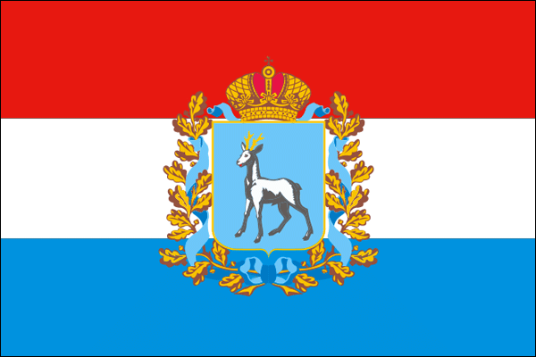
Samara Oblast - Overview
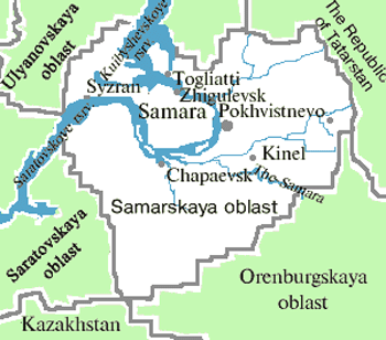
Samara Oblast is a federal subject of Russia located in the southeastern part of European Russia, in the middle reaches of the Volga River, part of the Volga Federal District. Samara is the capital city of the region.
According to the Federal State Statistics Service of Russia, the population of Samara Oblast is about 3,112,600 (2025), the area - 53,565 sq. km.
History of Samara Oblast
The territory of the present Samara region became part of the Russian state in the middle of the 16th century, after the Kazan and Astrakhan khanates were conquered by the Russian state. In the 17th-18th centuries, the territory around the middle Volga was colonized by migrants from other regions of Russia and foreigners (in particular, the Volga Germans).
The intensified colonization of the region began only in the second half of the 18th century. From the mid 19th century, this region experienced economic growth. Samara became an important center of the Russian domestic grain market, which led to the development of trade and industry in the city. In 1851, Samara became the center of Samara guberniya (province).
In 1935, Samara was renamed into Kuybyshev (the historical name was returned in 1990). In Soviet times, industrialization had a serious impact on the development of the region. Construction of plants producing explosives, poisonous substances and ammunition began in the town of Chapayevsk.
During the Second World War, the region became one of the centers of the defense industry of the USSR. In 1941, an oil processing plant was put into operation in Syzran providing the army with fuel. Several aviation plants were evacuated to Kuybyshev from Moscow and Voronezh. They started production of “Il-2” attack aircraft.
More Historical Facts…
In 1942, a railway passed through Syzran to supply Soviet troops during the Stalingrad Battle. In 1941-1943, diplomatic missions of foreign countries to the USSR were located in Kuybyshev (Samara). In 1941, there were plans for transferring the capital of the country to Kuybyshev in case the German troops capture Moscow.
In the 1950s-1960s, this region was one of the leading centers of oil extracting in the USSR. In 1945-1951, Kuybyshev and Novokuybyshev oil processing plants were built. At the same time, construction of Zhiguli hydroelectric power station was resumed. It was put into operation in 1955. Because of this construction, the town of Stavropol was flooded and was rebuilt in a new place and received a new name - Tolyatti.
Later, the construction base created during the construction of Zhiguli hydroelectric power station was used to create a series of other large industrial enterprises in Tolyatti - “KuybyshevAzot” mineral fertilizer plant, “Tolyattikauchuk” synthetic rubber plant (1964-1966), the Volga Automobile Plant (1970), and the largest in the country and the world manufacturer of ammonia “TolyattiAzot” (1979).
At the same time, aviation production was expanded. Kuibyshev Aviation Plant began production of the most mass Soviet passenger medium-haul aircraft Tu-154. The Soviet rocket space program orders were also fulfilled at this plant (“Progress” rockets).
In the post Soviet period, due to saved economic potential, Samara oblast has become one of the main economic centers of the country.
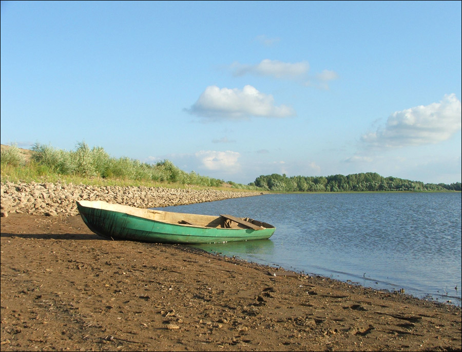
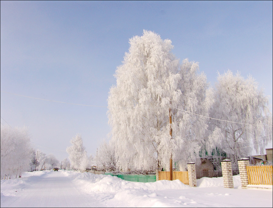
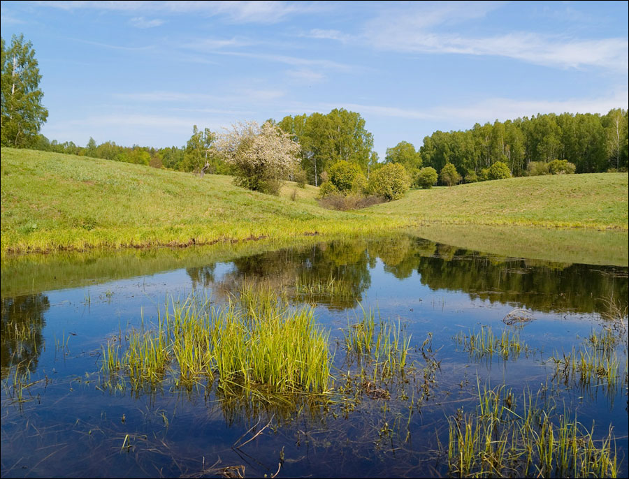
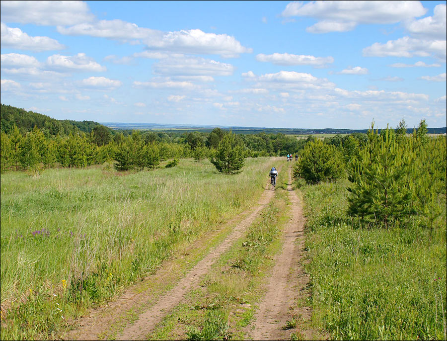
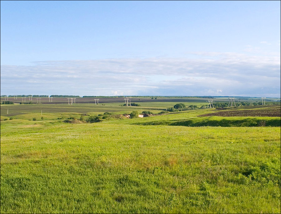
Samara Oblast views
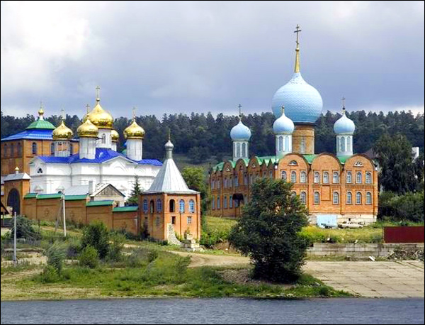
Samara Oblast scenery
Author: Dmitriy Siryachenko
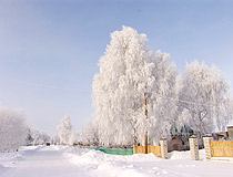
Winter in Samara Oblast
Author: Ochin Vladimir
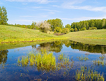
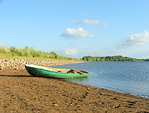
Samara Oblast scenery
Author: Alexander Urgalkin
Samara Oblast - Features
Samara Oblast stretches from north to south for 335 km, and from west to east - for 315 km. The climate is moderately continental. The average temperature in July is plus 20.7 degrees Celsius, in January - minus 13.8 degrees Celsius.
The largest cities and towns of the region are Samara (1,137,000), Tolyatti (685,600), Syzran (163,000), Novokuybyshevsk (98,400), Chapaevsk (70,100), Zhigulevsk (50,000), Otradny (47,000).
The main resources of the Samara region are oil, natural gas, shale oil, various building materials, water resources. The local industry is presented by about 400 large and medium plants and over 4,000 small ones. The most developed industries are machine building (automotive industry) and metalworking, fuel, electric power, chemical and petrochemical, non-ferrous metallurgy.
AvtoVAZ is the largest manufacturer of cars in Russia and Eastern Europe. TogliattiAzot is the largest producer of ammonia in the world (about 8-10%). The 300-kilometer section of the main ammonia pipeline Togliatti-Odessa passes through the territory of the region.
Crop production specializes in the cultivation of wheat, barley, millet, buckwheat, sunflower, vegetables, and potatoes. Livestock is represented by production of cattle meat and milk, pigs, poultry.
Tourism in Samara Oblast
There are 19 monuments of archeology, more than 1,200 cultural monuments, 11 theaters, and 58 museums on the territory of the Samara region. The cities of Samara, Syzran and Tolyatti are included in the List of Historical Settlements of the Russian Federation.
The most developed areas of tourism: sightseeing tourism, cruises along the Volga River, medical and recreational, ecological, event, rural, and ethnographic tourism, caving tourism, bicycle and horse routes.
The most interesting sights:
- The buildings of the Samara Drama Theater and the Samara Opera and Ballet Theater,
- Stalin’s Bunker, House with Elephants, Klodt Mansion, Zhigulevsky Brewery in Samara,
- Samara Space Museum,
- Church of Sergius of Radonezh in Chapaevsk,
- Kremlin, Sterlyadkin Mansion in Syzran,
- Church of the Kazan Icon of the Mother of God in the village of Verhnee Sancheeleevo,
- Museum of the History of Technology in Tolyatti,
- House-museum of Ilya Repin in the village of Shiryaevo,
- Sarbai Center of Folk Crafts in the village of Sarbai,
- Center for Historical Modeling “Ancient World” with the dwellings of the Stone and Bronze Ages,
- Zhiguli State Nature Reserve and Samarskaya Luka National Park - a UNESCO World Heritage Site. The Zhiguli Mountains are the largest mountain range in the region and, at the same time, one of the most beautiful places in Russia.
Annual festivals taking place in the Samara region:
- All-Russia festival of the author’s song named after Valery Grushin (the first weekend of July),
- “World of Bards” (in the end of August),
- Festival of electronic music and extreme sports GES FEST (the second week of July),
- “The Battle of Timur and Tokhtamysh”,
- “Steppe races in the Samara estate of Leo Tolstoy”,
- International festival “Drums of the World” (June),
- Holiday “Syzran tomato” (mid-August),
- “Holiday of a cherry pie” in the village of Shiryaevo,
- International festival “Theatrical Circle” in Tolyatti,
- Festival of Classical Ballet named after Alla Shelest.