Amur Oblast - Overview
Amur Oblast (also known as Amurskaya, Priamurye, Priamurie) is a federal subject of Russia located on the banks of the Amur and Zeya rivers, about 7,700 km east of Moscow, in the Far Eastern Federal District. Blagoveshchensk is the capital city of Amur Oblast.
According to the Federal State Statistics Service of Russia, the population of Amur Oblast is about 753,000 (2025), the area - 361,913 sq. km.
History of Amur Oblast
The first Russian settlers came to the Amur region in the middle of the 17th century. However, they encountered resistance from the local population that turned to the Manchus for protection. In 1689, in accordance with the Treaty of Nerchinsk, Russia lost Priamurye.
In the 19th century, Manchu China weakened and, by Aigun Treaty (1858), Priamurye once again came under the rule of Russia. In 1860, the treaty was confirmed and significantly expanded in the Beijing Treaty. In Chinese historiography, both treaties are considered unequal as China, weakened by the Opium wars and the Taiping Rebellion, was forced to make territorial concessions.
A lot of people arrived to the Amur region with the construction of the Trans-Siberian Railway. By the end of the 1930s, the population of the Amur region increased by half compared to pre-revolutionary times and amounted about 450,000 people.
In 1958, the population of Amur Oblast reached 717,500. The main causes of rapid population growth were the development of virgin land, the construction of the Zeya and Bureya hydroelectric power stations, the Baikal-Amur Mainline, increase in the number of armed forces and border troops.
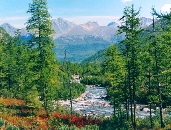
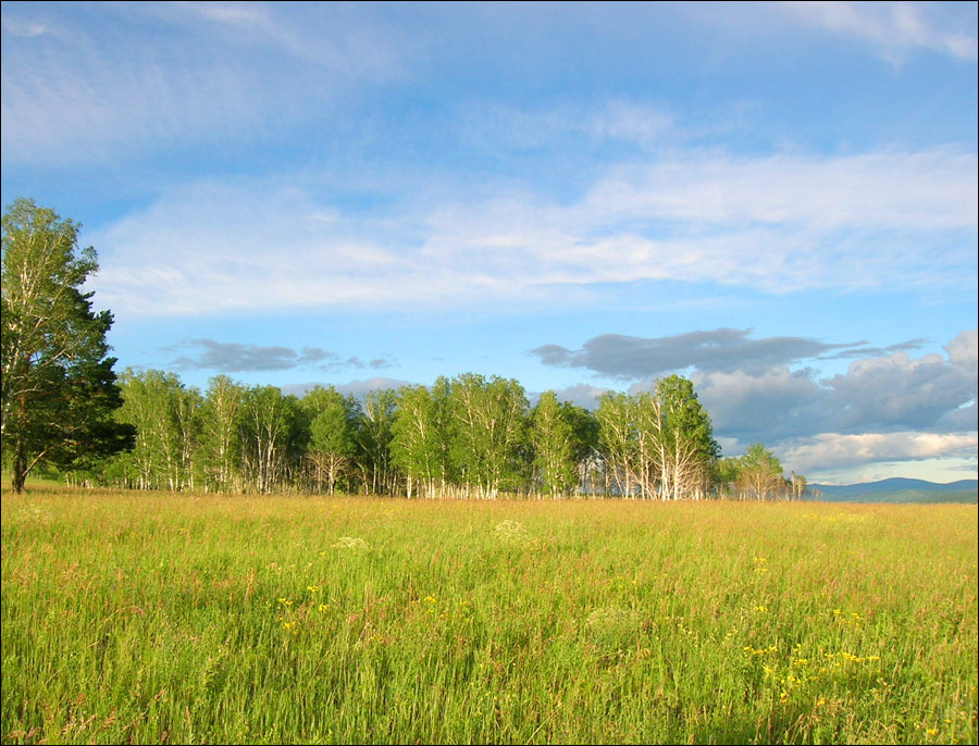
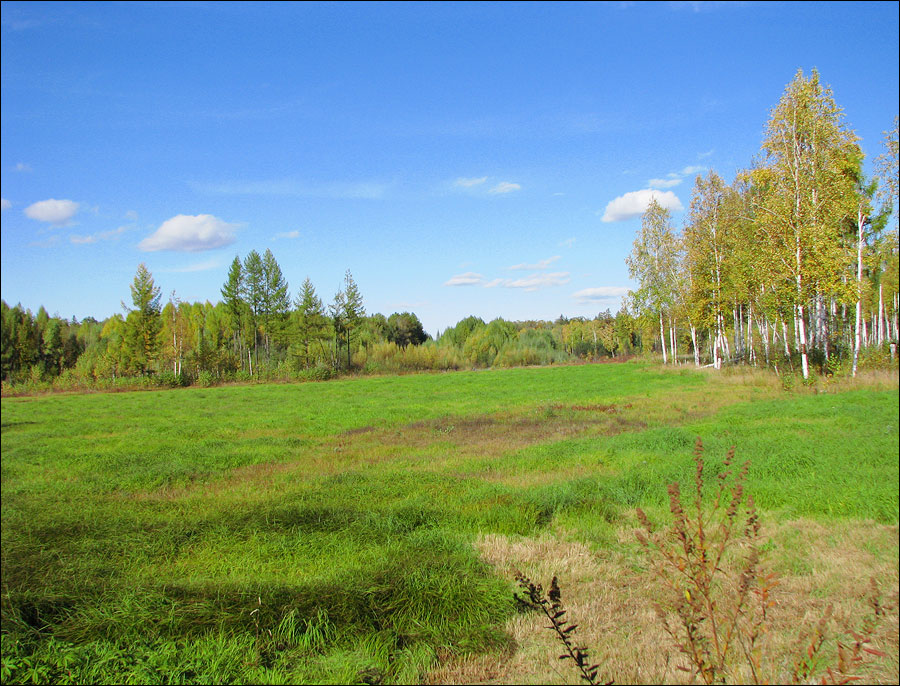
Pristine nature of Amur Oblast
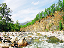
Mountain river in Amur Oblast
Author: Sveshnikov Alexander
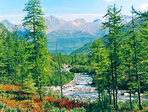
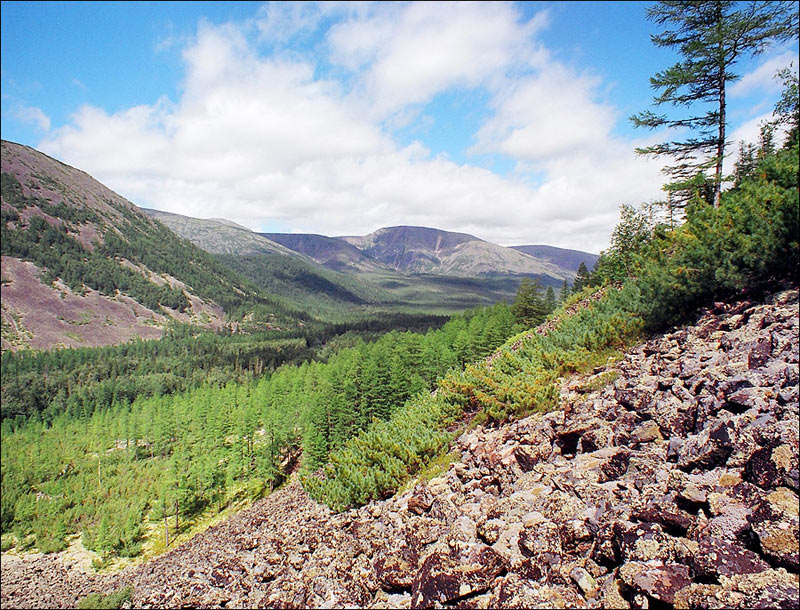
Nature of Amur Oblast
Author: Sergey Bulanov
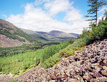
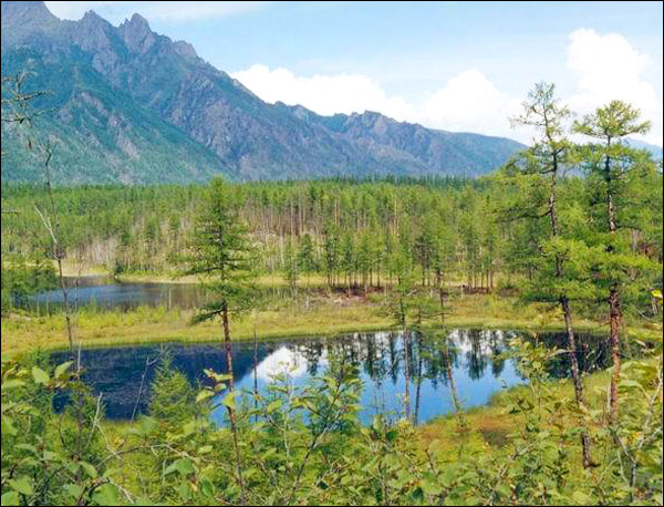
Amur Oblast landscape
Author: Sveshnikov Alexander
Amur Oblast - Features
Most of the region is located in the basin of the Upper and Middle Amur - hence the name of the region. South-eastern boundary of the Amur region is the state border of the Russian Federation and is bordered by the People’s Republic of China.
The Stanovoy Range divides Amur Oblast and the Republic of Sakha (Yakutia). The higher elevations of mountains are overgrown with dwarf Siberian pine and alpine tundra. Larch and pine forests grow along the river plains. Also, the Zeya River originates in these mountains.
There is a dam built in the middle of the Zeya River creating Zeysky water reservoir. Also there are mountains separating the region from Khabarovsk krai in the east with larch and fir-spruce forests. The Amur, Bureya and Zeya rivers form a place of highest biodiversity in the region.
The climate is transitional from the harsh continental in the north-west to monsoon in the south-east.
The fauna of the Amur region is rich and varied. The most widely known animals are the Amur leopard and the Amur tiger, which unfortunately are on the verge of extinction.
Amur Oblast - Economy
The main railroads are the Trans-Siberian Railway and the Baikal-Amur Railway. The region has such natural resources as gold, iron, non-ferrous and rare metals, coal, precious, half-precious stones, different construction materials, fresh and mineral water.
Soils are fertile enough for productive agriculture. There are reliable sources of power in Amur Oblast, including power stations consuming local coal as well as Zeyskaya and Bureyskaya hydro-power stations.
The main local industries are power engineering, mining (gold, coal), timber, wood processing, building materials production, food processing. Agricultural lands occupy about 1,000,000 hectares. The leading branches of agriculture are crops and soya beans growing, meat-and-milk production, in the north of the region - reindeer breeding, in south-east and partly in middle of the region - beekeeping.
In 2012, construction of the cosmodrome (spaceport) Vostochny (Eastern) began on the territory of Amur Oblast. It is located near the newly built town of Tsiolkovsky, 45 km north of Svobodny city. It is the first Russian civilian spaceport.
In October 2015, 14 km from Svobodny, construction of the Amur gas processing plant began - the largest in Russia and one of the largest in the world.


The comments of our visitors